Function that takes a landscape as an sf object and returns a hexagonal grid of a given size. Allowed inputs are hectres ('ha'), metres squared ('m2'), metres or kilometres ('m', or 'km') as the diameter of each hexagon
Usage
create_hexes(
  land,
  hex_size,
  units = NULL,
  hex_prefix = "SA_",
  linear_type = "short_diagonal"
)
Arguments
- land
sf Spatial. Area over which to create hexagonal grid. Must be have a valid CRS. If lat/lon (i.e. CRS 4326) will be projected to 3347 to ensure proper units.
- hex_size
Numeric or Units. Size of hexagon in area or diagonal diameter. Can be a bear number (see
units) or aunitsobject with units embedded. See details for specifics.- units
Character. Units of
hex_sizein"m","m2","km","km2", or"ha". Ignored ifhex_sizeis aunitsobject.- hex_prefix
Character. Text to prefix to hexagon IDs. Default "SA_" results in hexagon ids of "SA_01", etc.
- linear_type
Character. Type of diameter to use when specifying linear hexagonal grid sizes. One of
"short_diagonal"(default; for the short diameter from side to side, or centroid to centroid), or"long_diagonal"(for the long diameter from vertex to vertex passing through the centre of the hex).
Details
If hex_size is provided as a units object (i.e., units::set_units(100, km^2)) then the units can be any area or length unit recognized by the
units package and convertible to m or m2. Otherwise, if using a bare number in hex_size and
providing the units as a character in units, they must be one of "m",
"m2", "km", "km2", or "ha".
For example, hex_size = units::set_units(100, ft) will work, but hex_size = 100, units = "ft" will not.
Examples
library(sf)
#> Linking to GEOS 3.12.1, GDAL 3.8.4, PROJ 9.4.0; sf_use_s2() is TRUE
library(ggplot2)
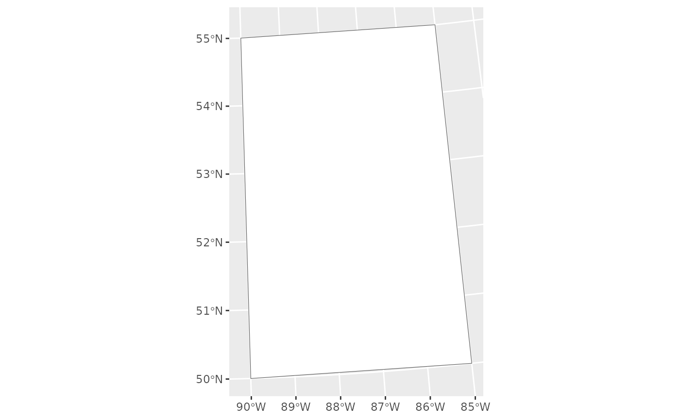
plot <- st_polygon(list(cbind(c(-90,-90,-85,-85,-90),
c(50,55,55,50,50)))) |>
st_sfc(crs = 4326) |>
st_transform(3347)
ggplot() +
geom_sf(data = plot, fill = "white")
 # Create grid by area - 1000km2
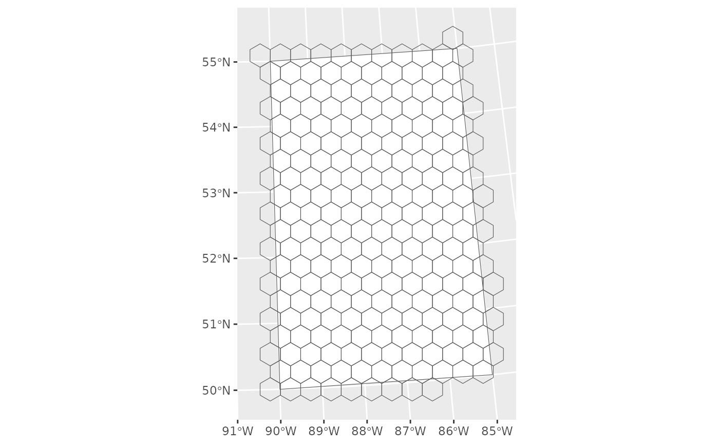
grid <- create_hexes(plot, hex_size = 1000, units = "km2")
# Check the area
st_area(grid[1,]) |>
units::set_units("km2")
#> 1000 [km^2]
# Check the visual
ggplot() +
geom_sf(data = plot, fill = "white") +
geom_sf(data = grid, fill = NA)
# Create grid by area - 1000km2
grid <- create_hexes(plot, hex_size = 1000, units = "km2")
# Check the area
st_area(grid[1,]) |>
units::set_units("km2")
#> 1000 [km^2]
# Check the visual
ggplot() +
geom_sf(data = plot, fill = "white") +
geom_sf(data = grid, fill = NA)
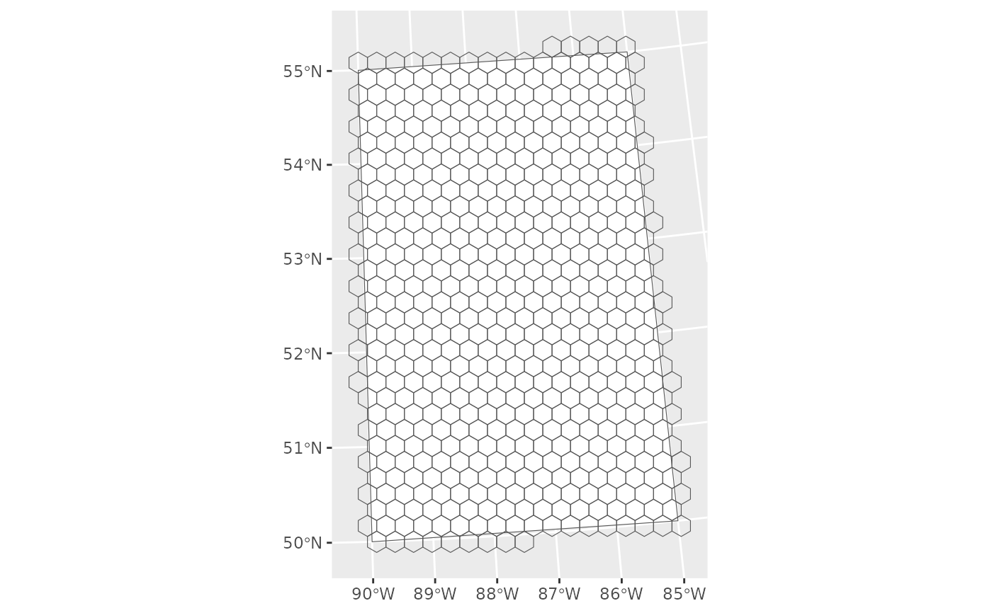
 # Create grid by diameter - 33.98088 km from side to side
grid2 <- create_hexes(plot, hex_size = 33.98088, units = "km")
# Check the area - Hah! A hexagon with the diameter of 33.98088 km has an area of ~1,000km
st_area(grid2[1,]) |>
units::set_units("km2")
#> 999.9997 [km^2]
# Check the visual - Identical
ggplot() +
geom_sf(data = plot, fill = "white") +
geom_sf(data = grid2, fill = NA)
# Create grid by diameter - 33.98088 km from side to side
grid2 <- create_hexes(plot, hex_size = 33.98088, units = "km")
# Check the area - Hah! A hexagon with the diameter of 33.98088 km has an area of ~1,000km
st_area(grid2[1,]) |>
units::set_units("km2")
#> 999.9997 [km^2]
# Check the visual - Identical
ggplot() +
geom_sf(data = plot, fill = "white") +
geom_sf(data = grid2, fill = NA)
 # Diameter of a 1000 km2 hexagon is
area_km2 <- 1000
(sqrt(2 * area_km2 / (3 * sqrt(3)))) * sqrt(3)
#> [1] 33.98088
# Create grid by hectare
grid <- create_hexes(plot, hex_size = 40000, units = "ha")
ggplot() +
geom_sf(data = plot, fill = "white") +
geom_sf(data = grid, fill = NA)
# Diameter of a 1000 km2 hexagon is
area_km2 <- 1000
(sqrt(2 * area_km2 / (3 * sqrt(3)))) * sqrt(3)
#> [1] 33.98088
# Create grid by hectare
grid <- create_hexes(plot, hex_size = 40000, units = "ha")
ggplot() +
geom_sf(data = plot, fill = "white") +
geom_sf(data = grid, fill = NA)
 # Create grid with pre-set units
area <- units::set_units(1000, "km2", mode = "character")
grid <- create_hexes(plot, hex_size = area)
ggplot() +
geom_sf(data = plot, fill = "white") +
geom_sf(data = grid, fill = NA)
# Create grid with pre-set units
area <- units::set_units(1000, "km2", mode = "character")
grid <- create_hexes(plot, hex_size = area)
ggplot() +
geom_sf(data = plot, fill = "white") +
geom_sf(data = grid, fill = NA)
